Sanborn Fire Insurance Maps
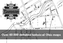
Maps originally created for assessing fire insurance liability in urbanized areas within the United States. Collection includes 40,000+ detailed maps of Ohio cities drawn between 1882 and 1962.
Use Sanborn Fire Insurance Maps